File:Kolldrunn worldmap tectonics currents.png
From Kolopedia
Size of this preview: 800 × 508 pixels. Other resolutions: 320 × 203 pixels | 1,700 × 1,080 pixels.
Original file (1,700 × 1,080 pixels, file size: 809 KB, MIME type: image/png)
Summary
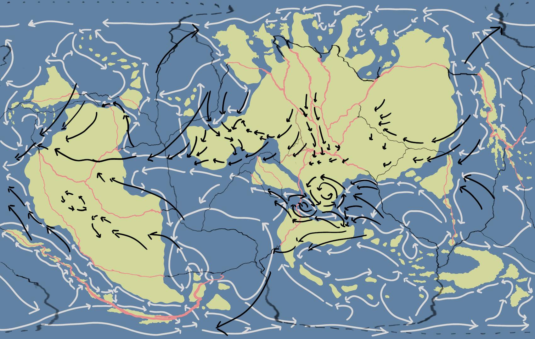
World map of the Kolldrunn, showcasing the tectonic plates and air and ocean currents.
File history
Click on a date/time to view the file as it appeared at that time.
| Date/Time | Thumbnail | Dimensions | User | Comment | |
|---|---|---|---|---|---|
| current | 04:37, 10 December 2025 | | 1,700 × 1,080 (809 KB) | Admin (talk | contribs) | World map of the Kolldrunn, showcasing the tectonic plates and air and ocean currents. |
You cannot overwrite this file.
File usage
The following page uses this file: